Apex Acquires PBS Engineering and Environmental Inc.
Partnership expands multi-disciplinary capabilities and strengthens presence in the Northwest.

Partnership expands multi-disciplinary capabilities and strengthens presence in the Northwest.

New leaders emerge as the firm expands services throughout the Pacific Northwest.

The PBS PFAS Program is designed to offer essential services and special rates specifically for organizations and communities who are concerned about or impacted by PFAS.

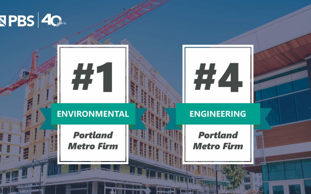
The Portland Business Journal has again ranked PBS among Portland’s top professional services firms.
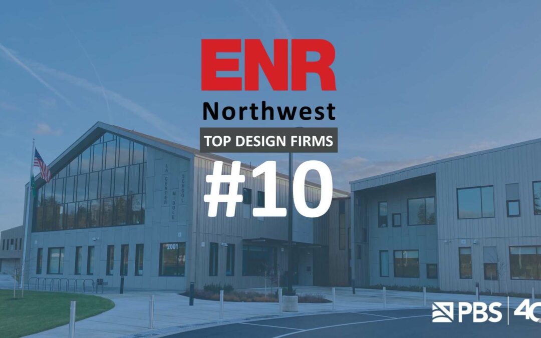
PBS was again ranked among the Top 500 Design Firms by Engineering News Record.