
Unmanned aerial systems are adding a new dimension to traditional land surveying.
Skyward, A Verizon company that provides airspace solutions, took the stage at the Consumer Electronic Show (CES) on January 8 in Las Vegas. CEO Mariah Scott spoke about the future of 5G cellular wireless and unmanned aerial systems (UAS), or drones, and how they will be used together. Aerial footage from PBS Engineering and Environmental Inc. (PBS), who uses the company’s tools, made a special appearance during a segment on how professional firms are applying new technologies to the traditional challenges of engineering and land surveying.
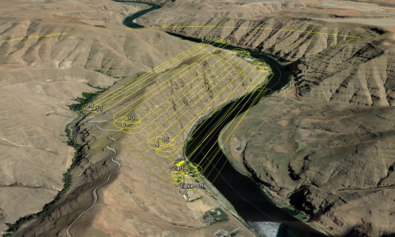
Though PBS originally launched a drone program to support their land surveyors, the firm is expanding applications for the technology.
Aerial video is used by transportation engineers to conduct traffic studies. Surveyors are using point clouds and digital terrain models for topographic surveys. High-precision imagery is used by civil engineers for planimetric design drawings, as well as scientists conducting wetlands delineations. Digital models created from drone mapping flights can be 3D printed and physically held, assisting with conceptual design and stakeholder meetings.
At PBS, drones are typically not viewed as an independent service, but rather as a new resource in the toolbox of their project managers. They’re a supplement that allows staff to efficiently collect field data and provide a comprehensive snapshot of a project site.
With traditional “boots on the ground” data collection, team members had to make decisions on-the-spot about what information to keep, and what to discard. With drones, nearly everything visible from the air is gathered efficiently so that those decisions can be made back in the office.
The number of professional firms adopting drones is growing every day, as is the amount of data being transferred via the current 4G wireless infrastructure. With data transfer speeds up to 1,000 times faster than the 4G, drone users stand to benefit from even more improvements to efficiency as 5G becomes available.