
PBS Engineering and Environmental (PBS) has unveiled a new program that uses drones for surveying, engineering, and aerial data collection.
Portland, Oregon – PBS is forging a path for the use of drone technology in the engineering industry through their newly established Unmanned Aerial Systems (UAS) Division. With 10 regional offices, PBS is one of the first design firms in the nation to integrate the data gathered from drones into its mapping and data collection efforts. “The first benefit we saw was in support of our surveying department, but we’re also finding great uses for drones in PBS’ engineering and environmental service areas,” said UAS Program Lead, Derrick Westoby.
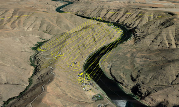
UAS Drone Flight Path
PBS’ drones are being used to create survey-controlled orthomosaics (geo-referenced aerial maps for planimetrics), supplementing traditional topographic survey methods. The same data can then be used to generate 3D surface meshes, contour lines, and 3D models without the need for additional field visits. “We’re particularly excited about the three-dimensional capabilities. Not only does this allow us to create 3D models of project sites digitally, but we’re able to use color 3D printers to create physical, tactile models,” said Westoby.
The firm has also adapted drone technology for virtual inspections and site visits, allowing easier visual assessments of difficult-to-access areas. “We can reduce the risk to field staff by conducting inspections of cliff-sides, bridges, and towers from the safety of the ground; and at a fraction of the time and cost,” said Westoby.
 “PBS has always strived to utilize the best technology available, particularly when it directly affects our clients in a positive way,” said Mark Leece, Principal Engineer at PBS. “From the real-time data collection capabilities, to the speed and enhanced safety for our staff—integration of UAS technology is a win-win for both PBS and our clients.”
Leece explained that much of the same data collected by a ground-based survey crew can be gathered more efficiently by drones. Costs are also often reduced since the data analyzation, mapping, and distribution is completed digitally and at an increased speed.
“The fast pace of data collection by drones, particularly over long distances, is impressive. But the true beauty of this system is in its long-term value. Once initial mapping is complete, the data can be repurposed and extended to numerous other work products,” said Leece.
Each drone is capable of manual or autonomous flights for durations of 30 to 45 minutes. The drones can be outfitted with a variety of different imaging sensors, allowing them to be set up and deployed for a variety of project-specific requirements.
The drones are flown in strict accordance with current federal regulations. PBS drone operators are FAA licensed and fully versed on the latest regulations for commercial drone operations.
“Every new project begins with one of our UAS operators checking for potential airspace conflicts,” said Westoby. The firm uses software by Skyward (a Verizon company) to plan flight paths and view real-time FAA flight restrictions. “Safety is at the heart of all we do at PBS, and it’s our first priority for UAS operations,” said Westoby.
As the firm’s UAS Program grows, PBS intends to extend UAS operations to more commercial and public clients to support engineering, environmental, and survey services. “We’re excited to offer this technology to clients in all sectors—not just municipal surveys,” said Leece. “The sky is literally the limit.”
More information: https://www.pbsusa.com/uas
ABOUT PBS ENGINEERING AND ENVIRONMENTAL
PBS, named a “Top 500 Engineering Firm” by Engineering News Record, mobilizes from Northwest locations throughout Oregon, Washington, and Idaho. Since 1982, PBS’ nimble, multi-discipline teams have provided engineered solutions that balance compliance, sustainability, and practical design. PBS’ core service areas include engineering, environmental, industrial hygiene, planning, surveying, and natural resource consulting for public and private clients.